
 Local News
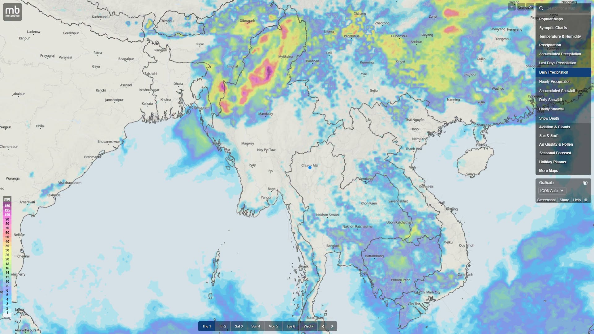
Nationwide Rainfall to Drop Sharply After Low-Pressure Area Dissipates
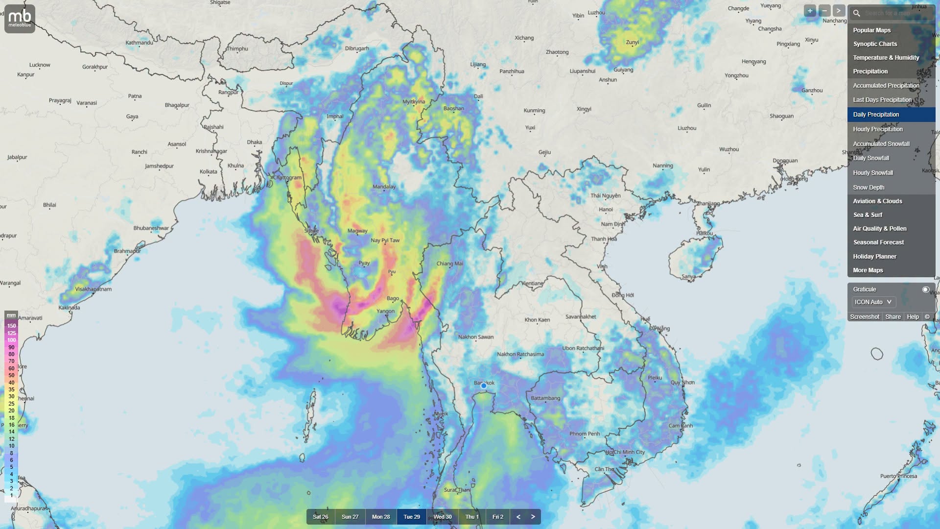
According to the Thai Meteorological Department, the low-pressure area over upper and northwestern Myanmar…
El Niño Could Reach Peak Conditions by Late This Year
October 2
According to an October 1 announcement by the Department of Meteorology and Hydrology, sea surface temperatures and atmospheric conditions in the Tropical Pacific Ocean near the equator continue to remain in a very strong El Niño state.
Based on announcements from the World Meteorological Organization and international climate centers, the Department of Meteorology and Hydrology has estimated that El Niño could reach its peak condition by late 2026.
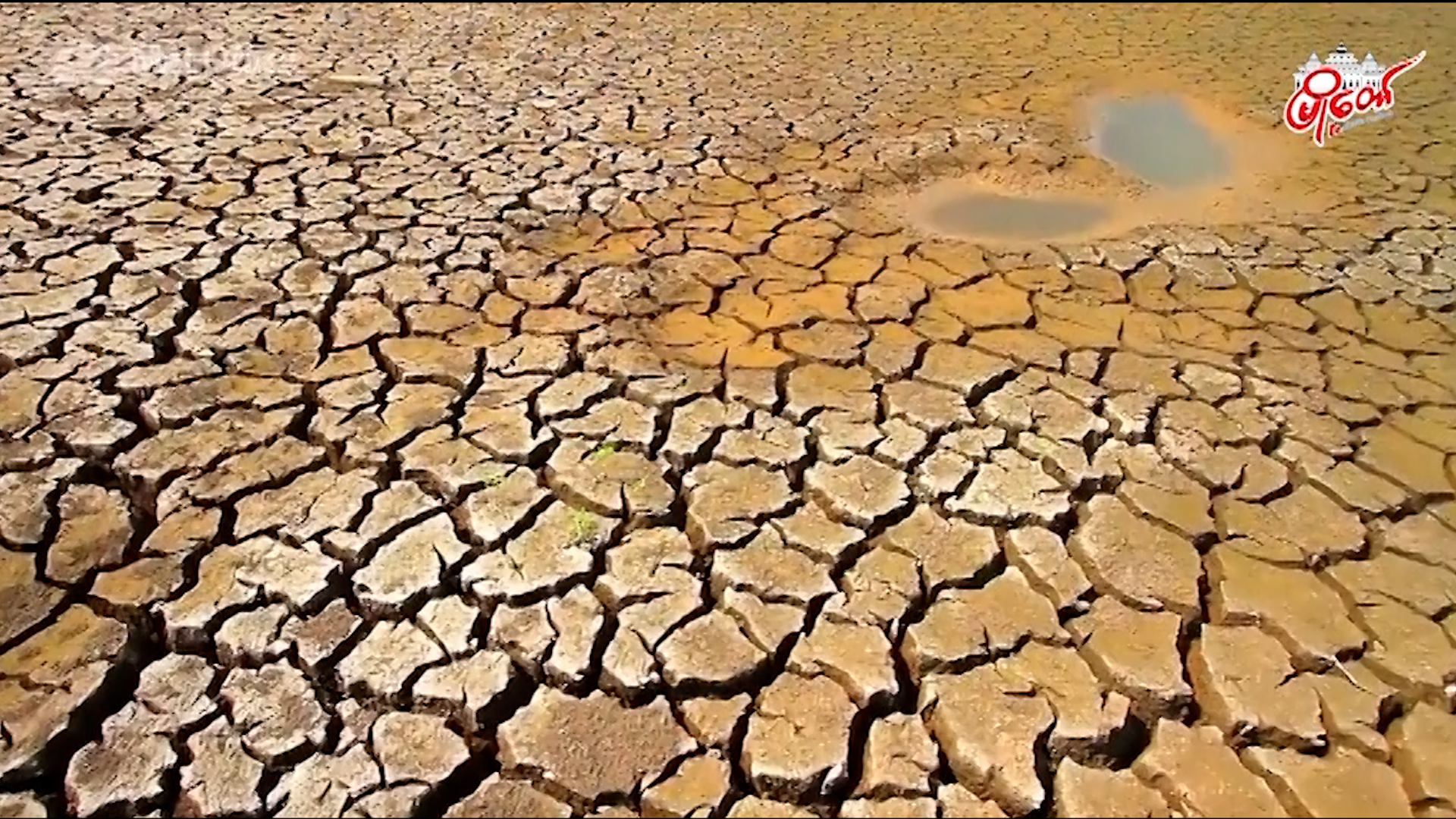
Although the El Niño phenomenon occurs in the Pacific Ocean, its effects generally include irregular rainfall, abnormal storm formation, higher daytime temperatures during the upcoming winter and summer seasons, and droughts — extreme weather events that could occur, it said.
During strong El Niño years, the southwest monsoon does not blow along its normal path, and wind flow over central and southern Myanmar tends to temporarily calm. When the monsoon weakens in this way, monsoon currents tend to be drawn toward the northern foothills of the Himalayas.
As a result, this phenomenon causes extremely heavy, consecutive days of rain in northern Myanmar's Kachin State and the upper Sagaing Region near the headwaters of the Chindwin River. Because of the very heavy rain at the river headwaters, the waters of the Ayeyarwady and Chindwin rivers flood towns in the lower river areas.
The years 2015-2016 were also a year dubbed the "Godzilla El Niño." That year was also the strongest El Niño year in world history. However, during July and August 2015, due to the force of Cyclone Komen, Rakhine State, Sagaing Region (Kalay town), and all of Myanmar experienced the worst flooding and landslides in history, and many people were forced to abandon their homes.
Currently, a very intense El Niño climate phenomenon has begun to form in the Pacific Ocean, and scientists have warned that this could become one of the strongest in history. This El Niño is said to potentially be even more intense than the El Niño event that occurred between 1877 and 1878, which had a major impact around the world.
Such rising temperatures change global weather patterns, causing heavy rainfall and floods in some regions, while in other regions they cause severe droughts and further increases in global temperatures.
Due to this exceptionally intense "super" El Niño event, agricultural operations and food supply chains around the world could be damaged, heatwaves in various places could become more severe, and extreme weather events could increase further.
Because the current El Niño could have a major impact on global weather, it is a rare and powerful natural disaster phenomenon that requires special attention and monitoring, it was warned.
Australia's Bureau of Meteorology has warned since June 16 that it could develop into the strongest El Niño in the past 70 years.
Due to increasingly severe weather conditions, heavy rainfall could be experienced in the Americas, while Asia, the most densely populated continent, could experience hot and dry weather, the Australian Bureau of Meteorology has estimated.
Agricultural operations in the Asian region are already being affected, raising concerns for global food security, it said.
Climate forecast models warn that this year's El Niño could reach a level that sets the highest record since 1950. Scientists also say that current climate change will make the effects of this year's El Niño more severe.
Due to the El Niño phenomenon, in which surface waters in the central and eastern Pacific Ocean warm, rainfall in Australia's eastern coastal areas could decrease during winter and spring, while daytime temperatures in southern regions could rise further, it was also said.
During the winter period from November 2026 to January 2027, El Niño will reach its peak, and dryness will become stronger across the region, with difficulties such as reduced irrigation and drinking water beginning to occur, it said. Temperatures will also remain noticeably higher than normal, it said. Particularly during the late monsoon and the transition into winter, hotter and drier weather than normal could be experienced, and winter cold could be reduced, it said.
The World Meteorological Organization (WMO) has estimated and announced that the currently occurring El Niño climate phenomenon has nearly a 100 percent chance of continuing until February 2027.
The WMO estimates that the El Niño phenomenon could reach its highest level late this year, and its effects on weather could continue through 2027.
If it continues at its current strengthening rate, it could become a more intense event than previously monitored and recorded El Niño events, said WMO Secretary-General Celeste Saulo.
Because this year's El Niño could become one of the largest El Niño events in history since 1950, meteorologists have also warned that preparations should be made in advance.
News Channel
Local News
According to the Thai Meteorological Department, the low-pressure area over upper and northwestern Myanmar…
 Local News
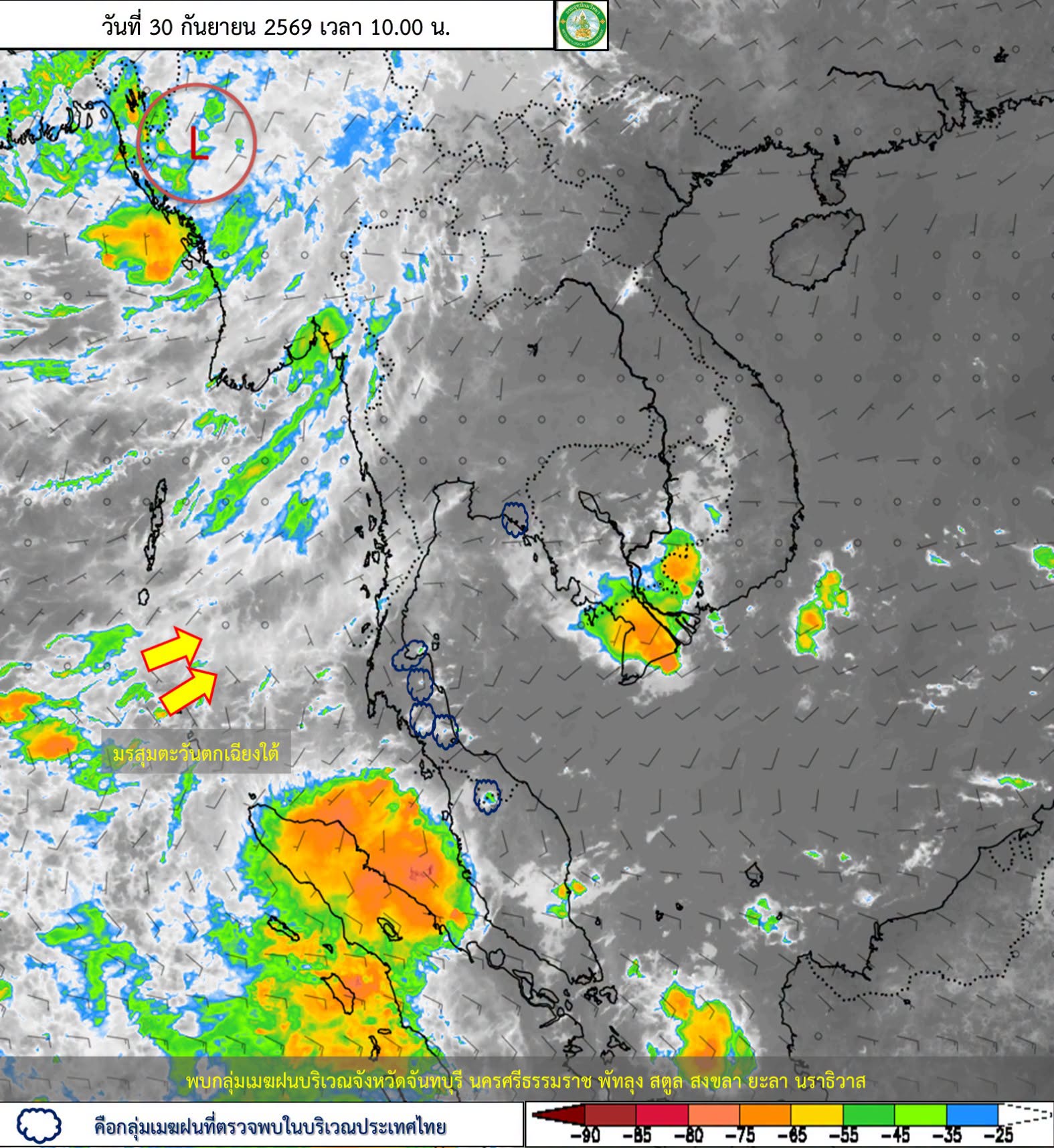
According to the India Meteorological Department (IMD) bulletin issued today, September 30, the low-pressure…
 Local News
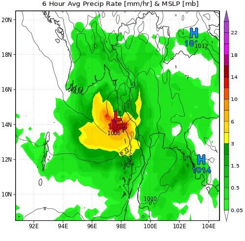
According to international meteorological agencies' forecasts, the low-pressure system forming in the Bay of…
 Local News
According to forecasts from the ICON Model, the India Meteorological Department (IMD), and the…